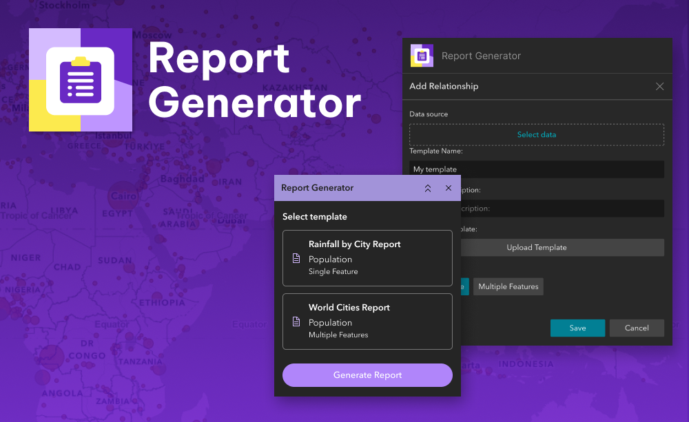
The Report Generator widget lets you select features on the map and instantly generate a clean, consistent Microsoft Word document using a custom template. Each report includes feature attributes and a map snapshot, formatted to match your organisation’s needs.
It is ideal for producing case summaries, asset reports, inspection outputs, or anything else that involves summarising geospatial data in a readable, shareable format. Just select, click, and download – no scripting or desktop tools required.
What it helps you do
- Quickly produce Microsoft Word documents from selected map features
- Standardise reporting with branded, pre-designed templates
- Save time compared to manual copying or exporting workflows
- Empower non-GIS users to generate clear, structured reports
Key features
- Customisable Word templates
Design your own DOCX templates with placeholders for feature attributes and maps - Feature-by-feature output
Each selected feature gets its own section or page with details and a map - Includes map snapshots
Automatically captures and inserts a map image for each feature at its current extent - No-code configuration
Set up templates and mappings without writing any code or scripts
Example use cases
- Generate permit summaries for selected parcels or works
- Output site inspection records with notes and location maps
- Produce field crew handouts or compliance documentation
- Automate asset status reports for stakeholder review
Using ArcGIS Online?
If you don’t have access to ArcGIS® Experience Builder Developer Edition, try our Hosted Experience Builder environment. It’s the fastest way to start using custom widgets like this one – no local setup or deployment required.


