Blog
Stay in the know with insights from the Geovonic team
-
New Hosting Regions
Starting today, Geovonic Connect allows you to choose your hosting region, allowing you to bring your data closer to your users reducing latency and improving performance. When signing up for a new Geovonic Connect subscription or starting a new trial, you can now choose to host your integrations in North America, Europe or…
-
Launch Google Street View from ArcGIS Experience Builder
Over the years, I’ve heard from countless organisations who have wanted to make it easy for their users to open Google Street View for features showing on an ArcGIS web map. With Geovonic Connect, it’s incredibly easy to add Street View to your ArcGIS web apps. Geovonic Connect has a feature called App Launchers. Each…
-
Auto-lodge BYDA enquiries with Geovonic Connect
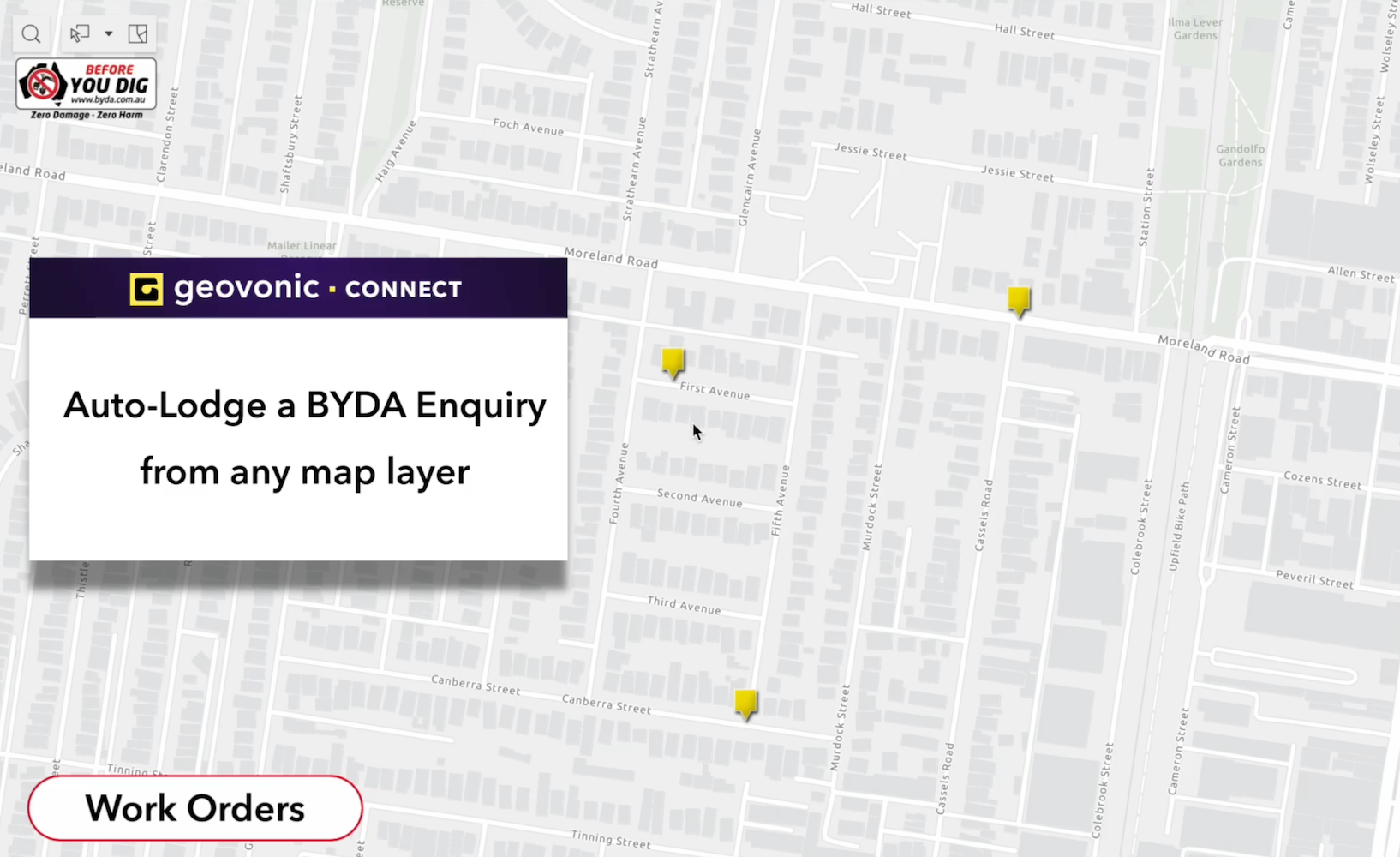
Recently, Before You Dig Australia opened up the BYDA API making it easier for high-volume users to automate the lodgement of enquiries. Now, we’ve added a Geovonic Connect plugin to take advantage of this API, allowing you to auto-lodge BYDA jobs from any ArcGIS web map. With BYDA providing free API credits to all members (new and…
-
Building an integration with SharePoint from ArcGIS Experience Builder
One of my favourite data source plugins for Geovonic Connect is the ODATA API plugin. ODATA is like SQL for APIs, providing a standardized way to query and update data over the web, making it easier for different systems to communicate and exchange information. Using Geovonic Connect’s ODATA plugin, it’s super simple to integrate with a…
-
ArcGIS Web AppBuilder to Experience Builder in Seconds
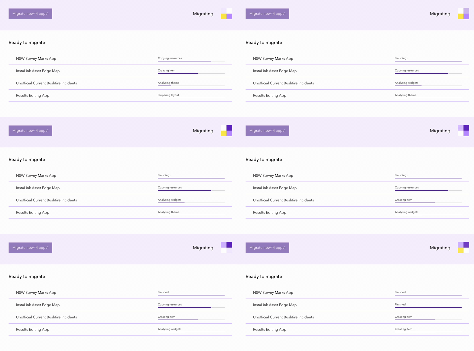
In early 2023, Esri announced that the much loved ArcGIS Web AppBuilder is retiring, and recommends that we start migrating our mapping apps to ArcGIS Experience Builder. With our Geovonic web app migration tool, you can automatically migrate your apps in a few clicks, saving you hours of work creating ArcGIS Experience Builder versions of…
-
Using Geovonic Connect to Fetch Work Orders from SQL Database
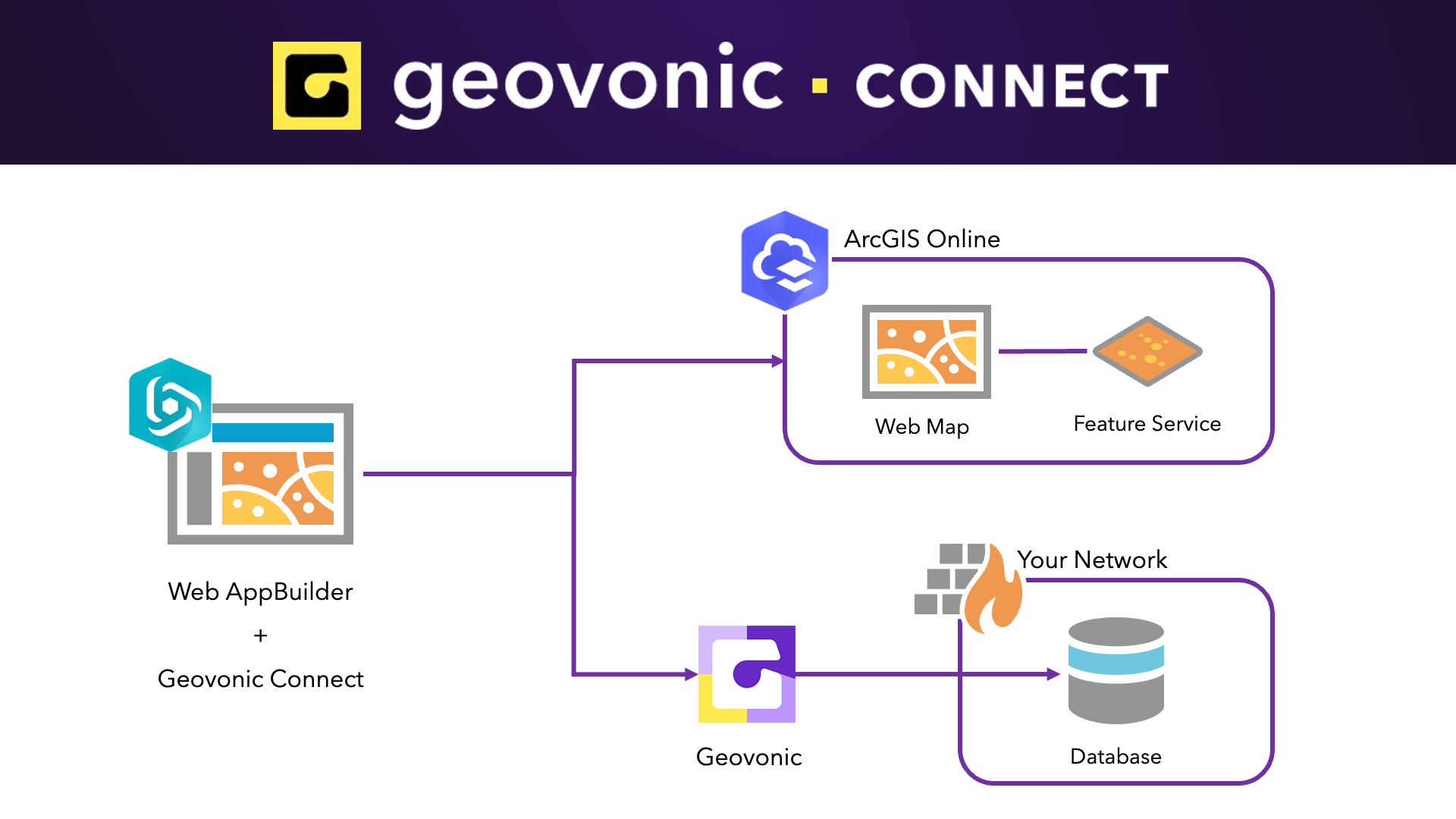
Geovonic Connect allows you to create relationships between features held in your ArcGIS with records stored in your other business systems. A wide range of different connectors is available, including the SQL Query Reader which is used to fetch data from databases, such as MS SQL Server or Postgres. Geovonic Connect works with…
-
Live Salesforce data in my web map
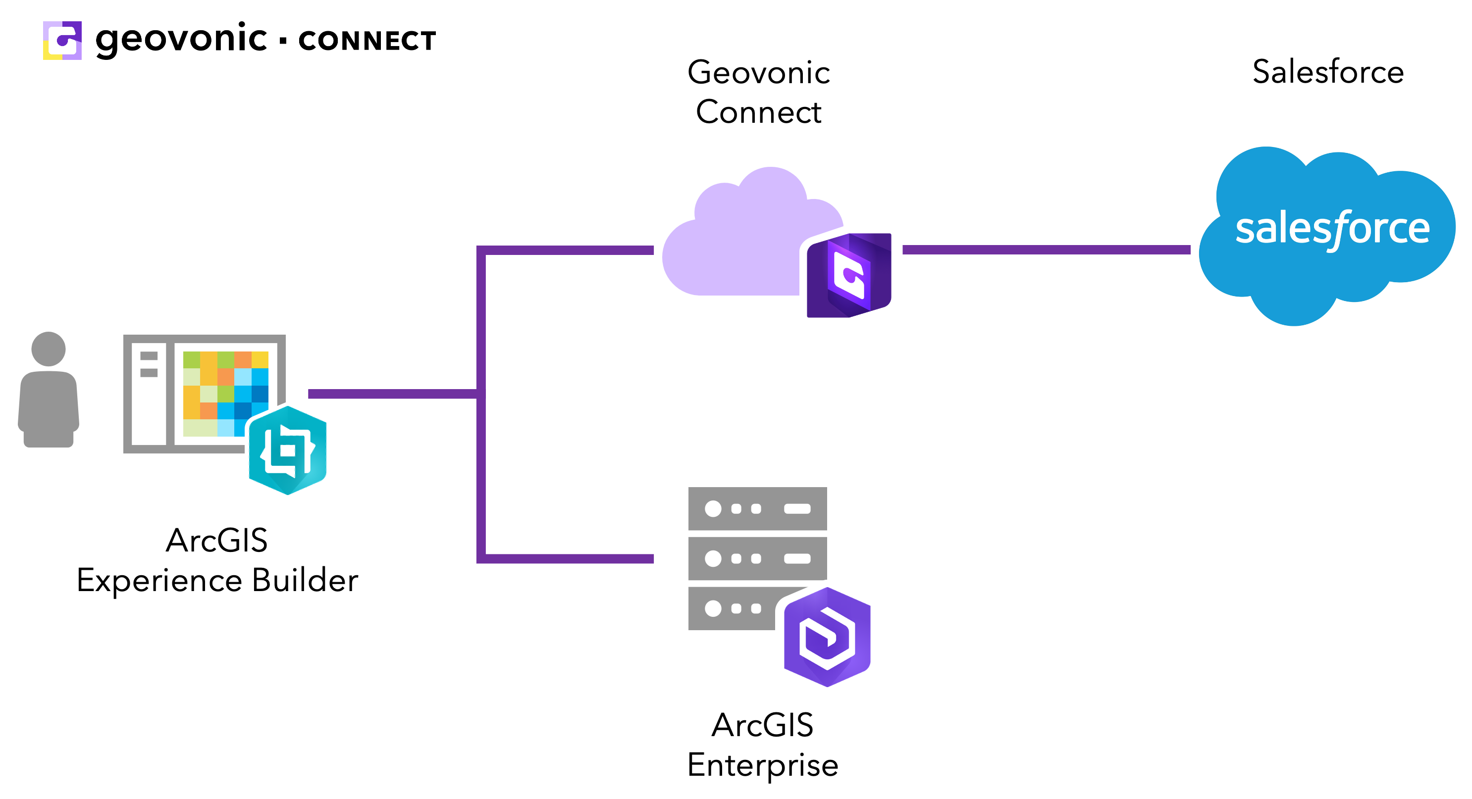
If you’re using Salesforce at your organisation, you were probably excited to see that Geovonic Connect has a plugin available for fetching customer and account information straight out of Salesforce. We use Salesforce ourselves and in this blog post I wanted to quickly walk through how we’ve used Geovonic Connect to link to our internal…


